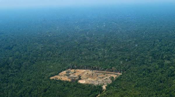
There is no single "best" satellite for tracking deforestation. The right choice depends on what you need to see, how often you need to see it, what you can afford, and whether clouds stand in your way. Broadly, three classes of technology dominate the field: free medium-resolution public optical satellites such as Landsat and Sentinel-2, commercial high-resolution optical constellations such as Planet's PlanetScope, and Synthetic Aperture Radar (SAR), which sees through clouds and darkness. This guide walks through each class and closes with a decision framework to match your monitoring goal to the right technology.
Understanding Satellite Technologies for Deforestation Monitoring
Satellite remote sensing has become the practical backbone of forest monitoring. A review of methods for mapping carbon stocks with satellite observations, published through the National Center for Biotechnology Information, notes a general consensus across the technical literature that monitoring forest cover change from satellites is practical and feasible for establishing baseline deforestation rates—provided that adequate validation and accuracy assessments are conducted and documented. That caveat matters: the technology works, but only when its outputs are checked against reality.
The reason satellites matter so much is scale. As the radar satellite operator ICEYE explains, satellite data supports regular mapping and monitoring of large land areas, which is especially helpful in regions that are difficult to access on the ground. But not all satellites observe the same way, and the differences between them shape what a monitoring project can actually detect.