
Sar
2 articles
Earth & Environment
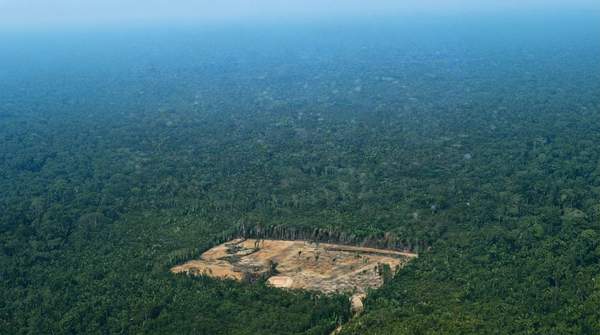
Choosing the Right Satellite Technology for Deforestation Monitoring: A Practical Guide to Resolution, Revisit Frequency, and Cloud Cover
Choosing the right satellite technology for deforestation monitoring involves balancing resolution, revisit frequency, and cloud cover. This guide explores public optical, commercial optical, and SAR satellites to help match your needs to the best solution.
David Grossman·October 22, 2026
Earth & Environment
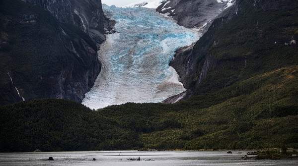
Comparing Satellite Methods for Monitoring Glacial Ice Loss
Satellite remote sensing is crucial for understanding glacial ice loss and its impact on sea levels, with different methodologies offering distinct capabilities. This article compares optical imagery, SAR, and satellite altimetry, emphasizing how combining these techniques provides a more comprehensive and accurate approach to monitoring glacial changes.
David Grossman·September 30, 2026